Rapid Intensification of Hurricane Gabrielle
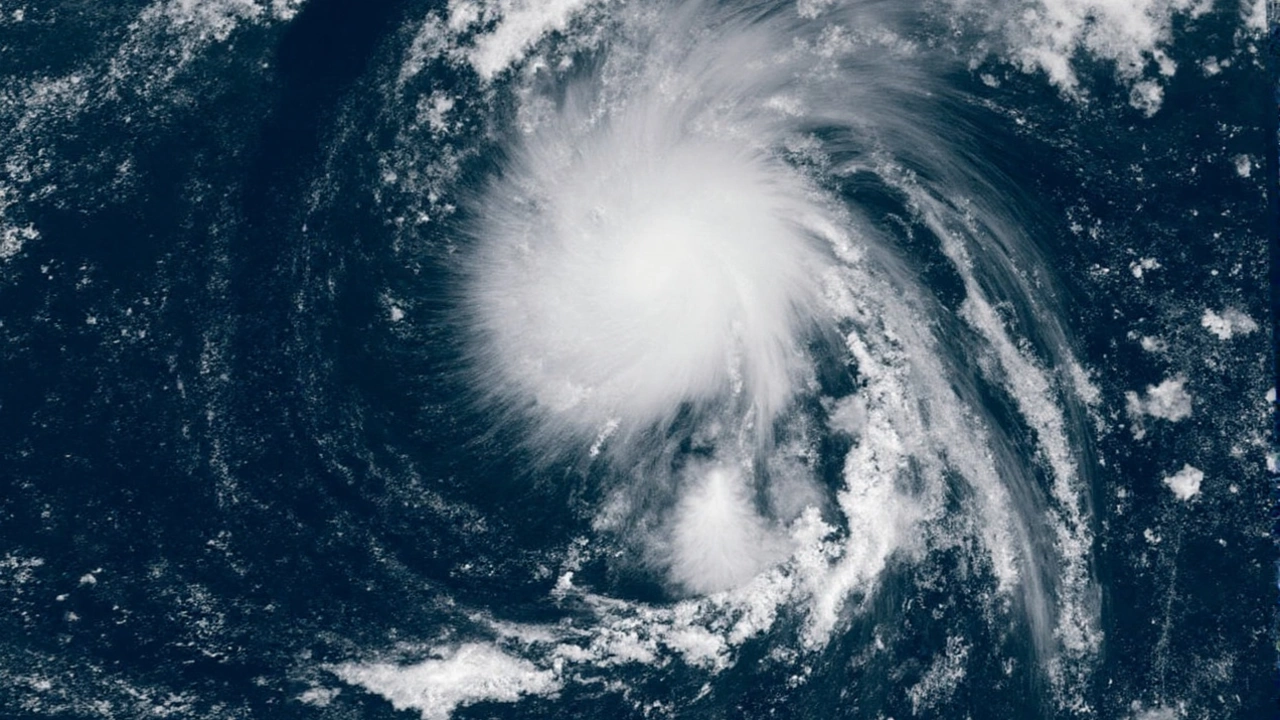
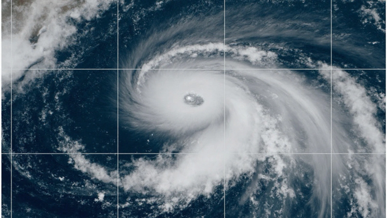
On September 22, Gabrielle reached Category 4 status, packing sustained winds of 140 miles per hour as it cruised roughly 180 miles east‑southeast of Bermuda. The storm’s meteoric rise began after a tropical wave left the African coast on September 11, then coalesced into Tropical Depression Seven on September 17 amid a swath of westerly shear and dry air.
Despite early struggles, the system shed its disorganized appearance by September 19, when curved convective bands started wrapping around the center. Air‑Force Reserve reconnaissance flights on September 20 captured the first glimpse of an embryonic eyewall, confirming that the storm was on a fast‑track to hurricane strength.
By the afternoon of September 21, Gabrielle earned its first hurricane designation. Overnight, the storm “exploded” in intensity, leaping from Category 1 to a major Category 3 as it rounded the western edge of the subtropical ridge and turned northward. Within hours, the eyewall tightened, and the hurricane attained Category 4 on September 22, maintaining that power through September 23 while tracking east‑northeast.
Experts attribute this rapid intensification to a perfect storm of low wind shear, warm sea‑surface temperatures above 28 °C, and a moist mid‑level environment that fed the cyclone’s core. The National Hurricane Center continues to monitor Gabrielle’s trajectory, noting that its current path steers it away from the United States, but the persistent strength keeps maritime interests on alert.

Potential New Tropical Threats
While Gabrielle dominates headlines, forecasters have identified at least two separate areas of interest trailing behind the main system. Both disturbances are situated in a region of the Atlantic where sea‑surface temperatures remain above the 26.5 °C threshold, and the upper‑level wind pattern has relaxed, providing a conducive environment for cyclogenesis.
- Disturbance Alpha: east of the Lesser Antilles, showing increasing convective bursts and a tightening low‑level circulation.
- Disturbance Beta: farther north, near the 40°W longitude, where satellite loops reveal a nascent spiral band and improving organization.
The National Hurricane Center warns that as the calendar flips toward October—a historically active month for Atlantic hurricanes—these systems could mature into tropical storms or even hurricanes. Coastal communities along the U.S. East Coast are being reminded to keep preparedness plans current, as the combined effect of Gabrielle’s lingering presence and new developments could raise landfall probabilities in the weeks ahead.
In sum, the Atlantic basin is humming with energy: a Category 4 powerhouse moving away from land and fresh seeds of development that may blossom as the season reaches its peak. Meteorologists are keeping a close eye on all fronts, ready to issue advisories should any of the new disturbances intensify further.
